
Montabaur topographic map
Interactive map
Click on the map to display elevation.
About this map
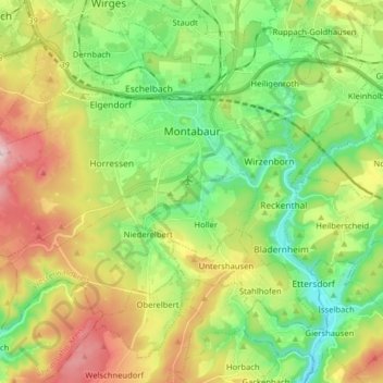
Name: Montabaur topographic map, elevation, terrain.
Location: Montabaur, Westerwaldkreis, Rhineland-Palatinate, 56410, Germany (50.38320 7.72773 50.45710 7.88655)
Average elevation: 991 ft
Minimum elevation: 505 ft
Maximum elevation: 1,781 ft