
Carters topographic map
Interactive map
Click on the map to display elevation.
About this map
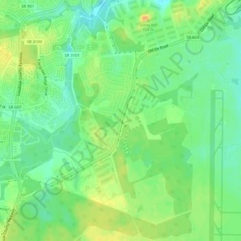
Name: Carters topographic map, elevation, terrain.
Location: Carters, Loudoun County, Virginia, 20166, USA (38.94567 -77.51416 38.98567 -77.47416)
Average elevation: 282 ft
Minimum elevation: 233 ft
Maximum elevation: 348 ft