
Taleqan topographic map
Interactive map
Click on the map to display elevation.
About this map
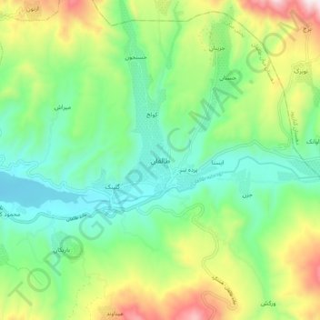
Name: Taleqan topographic map, elevation, terrain.
Location: Taleqan, دهستان میان طالقان, بخش مرکزی, Taleghan County, Iran (36.13787 50.72552 36.21787 50.80552)
Average elevation: 6,647 ft
Minimum elevation: 5,778 ft
Maximum elevation: 8,432 ft