
Kennett topographic map
Interactive map
Click on the map to display elevation.
About this map
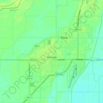
Name: Kennett topographic map, elevation, terrain.
Location: Kennett, Dunklin County, Missouri, 63857, United States (36.20731 -90.08449 36.27679 -90.01534)
Average elevation: 262 ft
Minimum elevation: 243 ft
Maximum elevation: 276 ft
Other topographic maps
Click on a map to view its topography, its elevation and its terrain.
Campbell
United States > Missouri > Dunklin County
Campbell, Dunklin County, Missouri, 63933, United States
Average elevation: 322 ft