
Pangong Tso topographic map
Interactive map
Click on the map to display elevation.
About this map
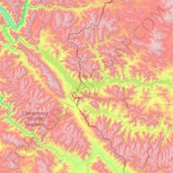
Name: Pangong Tso topographic map, elevation, terrain.
Location: Pangong Tso, Rutog County, Ngari Prefecture, Tibet, China (33.42971 78.41971 33.98300 79.93191)
Average elevation: 16,791 ft
Minimum elevation: 11,460 ft
Maximum elevation: 21,919 ft