
Barangay 27 topographic map
Interactive map
Click on the map to display elevation.
About this map
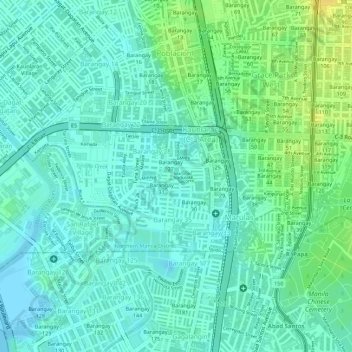
Name: Barangay 27 topographic map, elevation, terrain.
Average elevation: 30 ft
Minimum elevation: -3 ft
Maximum elevation: 85 ft
Other topographic maps
Click on a map to view its topography, its elevation and its terrain.
Maypajo
Maypajo, District 2, Northern Manila District, Metro Manila, 1410, Philippines
Average elevation: 30 ft