
Worthington Glacier topographic map
Interactive map
Click on the map to display elevation.
About this map
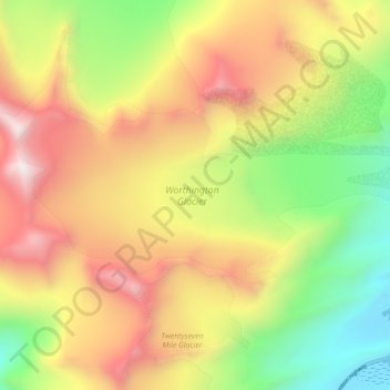
Name: Worthington Glacier topographic map, elevation, terrain.
Average elevation: 4,449 ft
Minimum elevation: 2,336 ft
Maximum elevation: 6,752 ft