
Emerson Township topographic map
Interactive map
Click on the map to display elevation.
About this map
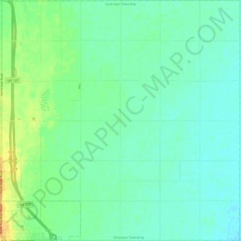
Name: Emerson Township topographic map, elevation, terrain.
Location: Emerson Township, Gratiot County, Michigan, United States (43.29165 -84.60743 43.37896 -84.48833)
Average elevation: 741 ft
Minimum elevation: 709 ft
Maximum elevation: 817 ft
Other topographic maps
Click on a map to view its topography, its elevation and its terrain.
Saint Louis
United States > Michigan > Gratiot County
Saint Louis, Gratiot County, Michigan, United States
Average elevation: 741 ft
North Shade Township
United States > Michigan > Gratiot County
North Shade Township, Gratiot County, Michigan, United States
Average elevation: 755 ft