
Purral topographic map
Interactive map
Click on the map to display elevation.
About this map
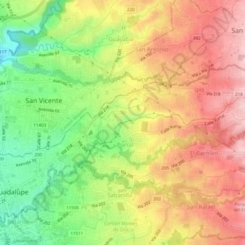
Name: Purral topographic map, elevation, terrain.
Average elevation: 4,193 ft
Minimum elevation: 3,819 ft
Maximum elevation: 4,518 ft
Other topographic maps
Click on a map to view its topography, its elevation and its terrain.
Mata de Plátano
Costa Rica > Cantón Goicoechea
Mata de Plátano, Cantón Goicoechea, San Jose Province, 10804, Costa Rica
Average elevation: 4,413 ft