
Red Cloud topographic map
Interactive map
Click on the map to display elevation.
About this map
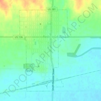
Name: Red Cloud topographic map, elevation, terrain.
Location: Red Cloud, Webster County, Nebraska, United States (40.07428 -98.53035 40.09611 -98.51359)
Average elevation: 1,722 ft
Minimum elevation: 1,680 ft
Maximum elevation: 1,808 ft