
Loxstedt topographic map
Interactive map
Click on the map to display elevation.
About this map
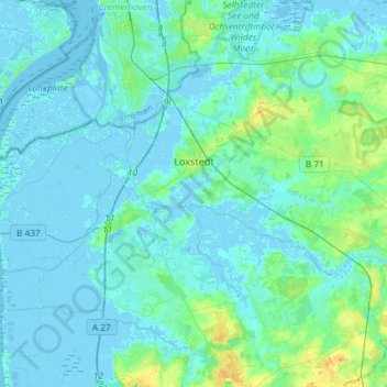
Name: Loxstedt topographic map, elevation, terrain.
Location: Loxstedt, Landkreis Cuxhaven, Lower Saxony, 27612, Germany (53.39421 8.49241 53.51589 8.78445)
Average elevation: 13 ft
Minimum elevation: -23 ft
Maximum elevation: 72 ft