
Deen Maar topographic map
Interactive map
Click on the map to display elevation.
About this map
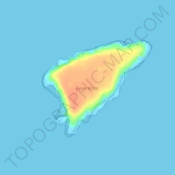
Name: Deen Maar topographic map, elevation, terrain.
Location: Deen Maar, Warrnambool, Victoria, 3280, Australia (-38.42591 141.99290 -38.41139 142.01438)
Average elevation: 13 ft
Minimum elevation: 0 ft
Maximum elevation: 131 ft