
Saint Arnaud topographic map
Interactive map
Click on the map to display elevation.
About this map
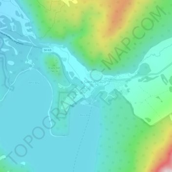
Name: Saint Arnaud topographic map, elevation, terrain.
Location: Saint Arnaud, Tasman, 7053, New Zealand (-41.82237 172.82504 -41.78237 172.86504)
Average elevation: 2,300 ft
Minimum elevation: 1,975 ft
Maximum elevation: 3,606 ft