
Lunglei topographic map
Interactive map
Click on the map to display elevation.
About this map
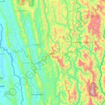
Name: Lunglei topographic map, elevation, terrain.
Location: Lunglei, Mizoram, India (22.54807 92.63088 23.24675 92.94974)
Average elevation: 1,673 ft
Minimum elevation: 89 ft
Maximum elevation: 6,988 ft
Other topographic maps
Click on a map to view its topography, its elevation and its terrain.