
Leiro topographic map
Interactive map
Click on the map to display elevation.
About this map
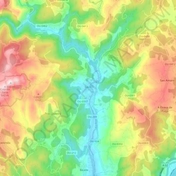
Name: Leiro topographic map, elevation, terrain.
Location: Leiro, O Ribeiro, Ourense, Galicia, Spain (42.33532 -8.21729 42.40400 -8.09979)
Average elevation: 1,007 ft
Minimum elevation: 249 ft
Maximum elevation: 2,070 ft
Other topographic maps
Click on a map to view its topography, its elevation and its terrain.