
Sheridan topographic map
Interactive map
Click on the map to display elevation.
About this map
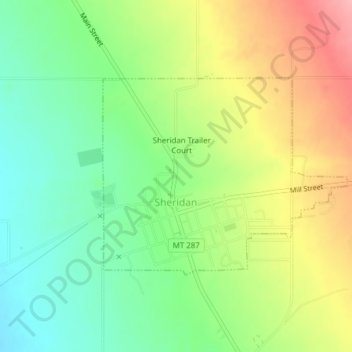
Name: Sheridan topographic map, elevation, terrain.
Location: Sheridan, Madison County, Montana, 59749, USA (45.45088 -112.20517 45.46602 -112.17842)
Average elevation: 5,128 ft
Minimum elevation: 4,964 ft
Maximum elevation: 5,351 ft