
Mill Run topographic map
Interactive map
Click on the map to display elevation.
About this map
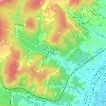
Name: Mill Run topographic map, elevation, terrain.
Average elevation: 1,453 ft
Minimum elevation: 1,106 ft
Maximum elevation: 1,969 ft
Other topographic maps
Click on a map to view its topography, its elevation and its terrain.
Greenwood
United States > Pennsylvania > Blair County > Logan Township
Greenwood, Logan Township, Blair County, Pennsylvania, 16602, United States
Average elevation: 1,398 ft
Beverly Hills
United States > Pennsylvania > Blair County > Logan Township
Beverly Hills, Logan Township, Blair County, Pennsylvania, 16601, United States
Average elevation: 1,424 ft