
La Paz topographic map
Interactive map
Click on the map to display elevation.
About this map
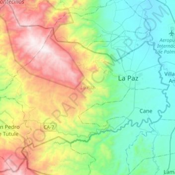
Name: La Paz topographic map, elevation, terrain.
Location: La Paz, Honduras (14.22902 -87.87200 14.39225 -87.62570)
Average elevation: 3,786 ft
Minimum elevation: 1,834 ft
Maximum elevation: 7,822 ft
Other topographic maps
Click on a map to view its topography, its elevation and its terrain.