
Enna topographic map
Interactive map
Click on the map to display elevation.
About this map
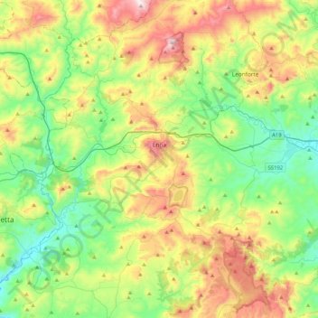
Name: Enna topographic map, elevation, terrain.
Location: Enna, Sicily, 94100, Italy (37.42467 14.08658 37.67894 14.49940)
Average elevation: 1,804 ft
Minimum elevation: 633 ft
Maximum elevation: 3,819 ft