
Kocaeli topographic map
Interactive map
Click on the map to display elevation.
About this map
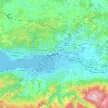
Name: Kocaeli topographic map, elevation, terrain.
Location: Kocaeli, İzmit, Kocaeli, Marmara Region, 41300, Turkey (40.60539 29.78074 40.92539 30.10074)
Average elevation: 948 ft
Minimum elevation: -7 ft
Maximum elevation: 5,230 ft
Other topographic maps
Click on a map to view its topography, its elevation and its terrain.