
Stepanakert topographic map
Interactive map
Click on the map to display elevation.
About this map
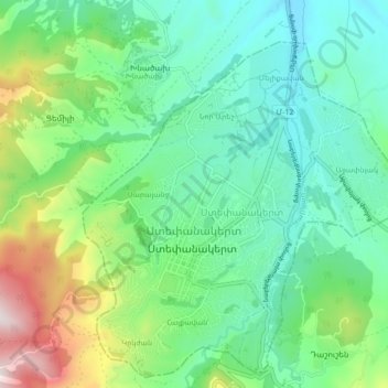
Name: Stepanakert topographic map, elevation, terrain.
Location: Stepanakert, Askeran Region, Artsakh Republic, Azerbaijan (39.79381 46.72593 39.86077 46.79923)
Average elevation: 2,841 ft
Minimum elevation: 2,080 ft
Maximum elevation: 4,865 ft