
Bay Ridge topographic map
Interactive map
Click on the map to display elevation.
About this map
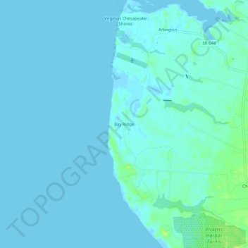
Name: Bay Ridge topographic map, elevation, terrain.
Location: Bay Ridge, Northampton County, Virginia, USA (37.19125 -76.03021 37.23125 -75.99021)
Average elevation: 7 ft
Minimum elevation: -16 ft
Maximum elevation: 43 ft