
Choapa topographic map
Interactive map
Click on the map to display elevation.
About this map
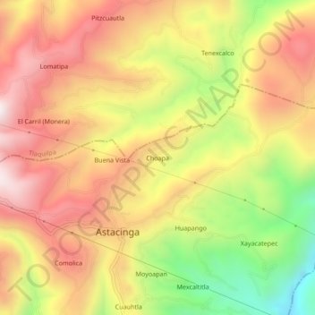
Name: Choapa topographic map, elevation, terrain.
Location: Choapa, Astacinga, Veracruz, Mexico (18.55583 -97.11639 18.59583 -97.07639)
Average elevation: 7,133 ft
Minimum elevation: 5,600 ft
Maximum elevation: 8,307 ft