
Casa Hacienda El Fortín topographic map
Interactive map
Click on the map to display elevation.
About this map
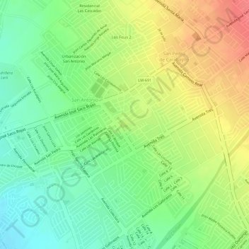
Name: Casa Hacienda El Fortín topographic map, elevation, terrain.
Average elevation: 705 ft
Minimum elevation: 594 ft
Maximum elevation: 827 ft
Other topographic maps
Click on a map to view its topography, its elevation and its terrain.
Carabayllo
Peru > Lima > Carabayllo
Carabayllo, Province of Lima, Lima, Peru
Average elevation: 2,625 ft