
Bultfontein topographic map
Interactive map
Click on the map to display elevation.
About this map
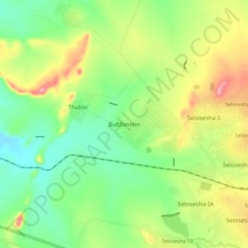
Name: Bultfontein topographic map, elevation, terrain.
Average elevation: 4,803 ft
Minimum elevation: 4,616 ft
Maximum elevation: 5,092 ft
Other topographic maps
Click on a map to view its topography, its elevation and its terrain.
Thaba Nchu 16
South Africa > Free State > Mangaung Metropolitan Municipality
Thaba Nchu 16, Thaba Nchu 22, Mangaung Metropolitan Municipality, Free State, 9780, South Africa
Average elevation: 5,046 ft