
Montoso topographic map
Interactive map
Click on the map to display elevation.
About this map
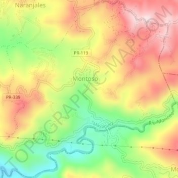
Name: Montoso topographic map, elevation, terrain.
Location: Montoso, Mayagüez, Puerto Rico, USA (18.17625 -67.05207 18.20897 -67.01737)
Average elevation: 994 ft
Minimum elevation: 377 ft
Maximum elevation: 1,558 ft