
Thai Mueang topographic map
Interactive map
Click on the map to display elevation.
About this map
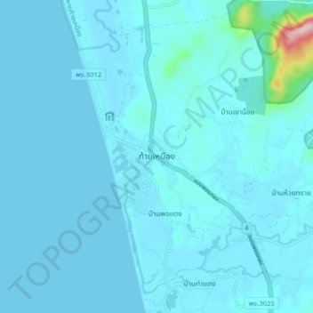
Name: Thai Mueang topographic map, elevation, terrain.
Location: Thai Mueang, Phangnga Province, 82120, Thailand (8.35100 98.21750 8.43100 98.29750)
Average elevation: 52 ft
Minimum elevation: 0 ft
Maximum elevation: 1,089 ft