
Roscoe topographic map
Interactive map
Click on the map to display elevation.
About this map
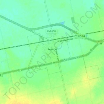
Name: Roscoe topographic map, elevation, terrain.
Location: Roscoe, Nolan County, Texas, United States (32.42390 -100.55636 32.45593 -100.48479)
Average elevation: 2,395 ft
Minimum elevation: 2,365 ft
Maximum elevation: 2,434 ft