
Domberg topographic map
Interactive map
Click on the map to display elevation.
About this map
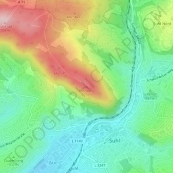
Name: Domberg topographic map, elevation, terrain.
Location: Domberg, Suhl, Thuringia, 98527, Germany (50.61700 10.68572 50.61710 10.68582)
Average elevation: 1,703 ft
Minimum elevation: 1,345 ft
Maximum elevation: 2,329 ft
Other topographic maps
Click on a map to view its topography, its elevation and its terrain.