
Nahrin topographic map
Interactive map
Click on the map to display elevation.
About this map
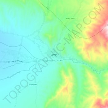
Name: Nahrin topographic map, elevation, terrain.
Location: Nahrin, Baghlan, Afghanistan (36.02490 69.09343 36.10490 69.17343)
Average elevation: 4,170 ft
Minimum elevation: 3,412 ft
Maximum elevation: 6,506 ft