
Winchester topographic map
Interactive map
Click on the map to display elevation.
About this map
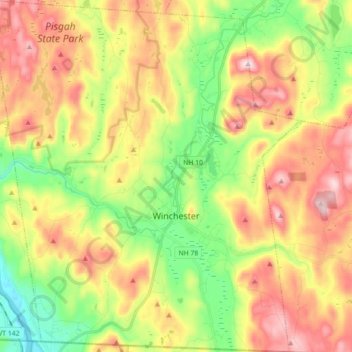
Name: Winchester topographic map, elevation, terrain.
Location: Winchester, Cheshire County, New Hampshire, USA (42.72287 -72.47727 42.85305 -72.32073)
Average elevation: 755 ft
Minimum elevation: 177 ft
Maximum elevation: 1,427 ft