
Ichemoul topographic map
Interactive map
Click on the map to display elevation.
About this map
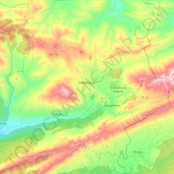
Name: Ichemoul topographic map, elevation, terrain.
Location: Ichemoul, Ichemoul district, Batna, Algeria (35.24195 6.37968 35.36782 6.59497)
Average elevation: 5,115 ft
Minimum elevation: 3,753 ft
Maximum elevation: 7,028 ft