
Rjukan topographic map
Interactive map
Click on the map to display elevation.
About this map
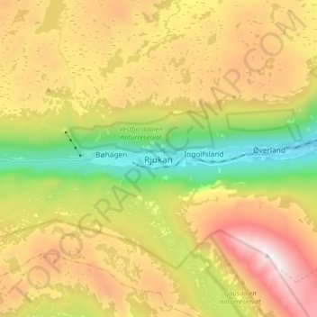
Name: Rjukan topographic map, elevation, terrain.
Location: Rjukan, Tinn, Vestfold og Telemark, 3660, Norway (59.83869 8.55417 59.91869 8.63417)
Average elevation: 3,274 ft
Minimum elevation: 797 ft
Maximum elevation: 6,119 ft