
Diran topographic map
Interactive map
Click on the map to display elevation.
About this map
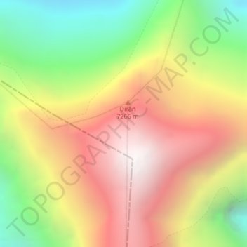
Name: Diran topographic map, elevation, terrain.
Location: Diran, Gilgit, Gilgit District, Gilgit-Baltistan, Pakistan (36.12463 74.65922 36.12473 74.65932)
Average elevation: 20,705 ft
Minimum elevation: 17,467 ft
Maximum elevation: 23,793 ft