
Nederweert topographic map
Interactive map
Click on the map to display elevation.
About this map
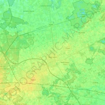
Name: Nederweert topographic map, elevation, terrain.
Location: Nederweert, Limburg, Netherlands, The Netherlands (51.23692 5.64400 51.34688 5.87782)
Average elevation: 102 ft
Minimum elevation: 69 ft
Maximum elevation: 131 ft