
360 views of Rakkposhi and Hunza topographic map
Interactive map
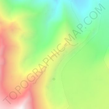
Click on the map to display elevation.
About this map
Name: 360 views of Rakkposhi and Hunza topographic map, elevation, terrain.
Average elevation: 11,391 ft
Minimum elevation: 9,567 ft
Maximum elevation: 13,747 ft