
Bellinzona topographic map
Interactive map
Click on the map to display elevation.
About this map
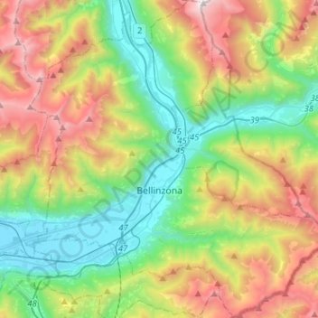
Name: Bellinzona topographic map, elevation, terrain.
Average elevation: 3,553 ft
Minimum elevation: 640 ft
Maximum elevation: 8,799 ft
Bellinzona is situated in the valley of the river Ticino, at an altitude of 240 metres (790 ft). The town centre lies about 1 kilometre (0.62 mi) east of the river, with the urban area confined to the bottom and lower slopes of the valley. However the municipality's boundaries extend up both sides of the valley, to altitudes of 2,240 metres (7,350 ft) to the west, and 2,195 metres (7,201 ft) to the east.[3]