
CERRO LA COL topographic map
Interactive map
Click on the map to display elevation.
About this map
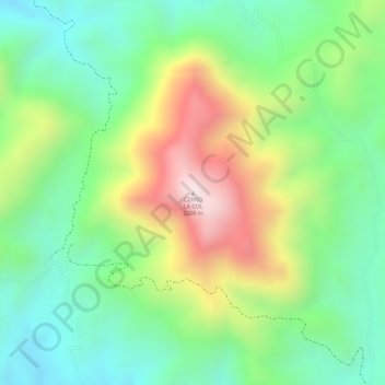
Name: CERRO LA COL topographic map, elevation, terrain.
Location: CERRO LA COL, Zapopan, Jalisco, Mexico (20.86794 -103.50777 20.86804 -103.50767)
Average elevation: 6,115 ft
Minimum elevation: 5,400 ft
Maximum elevation: 7,208 ft
Other topographic maps
Click on a map to view its topography, its elevation and its terrain.