
Kanto topographic map
Interactive map
Click on the map to display elevation.
About this map
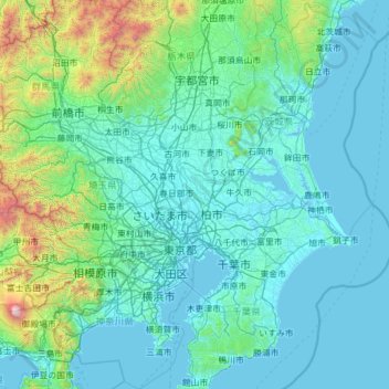
Name: Kanto topographic map, elevation, terrain.
Location: Kanto, Noda, Chiba Prefecture, 278-0005, Japan (34.95748 138.86706 36.95748 140.86706)
Average elevation: 869 ft
Minimum elevation: -10 ft
Maximum elevation: 12,014 ft