
Purus topographic map
Interactive map
Click on the map to display elevation.
About this map
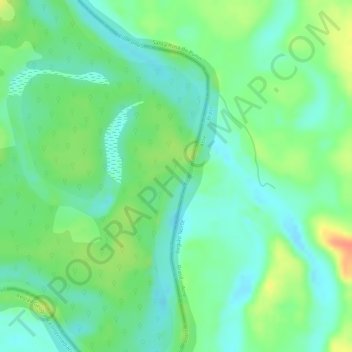
Name: Purus topographic map, elevation, terrain.
Location: Purus, Purús, Province of Purús, Ucayali, Peru (-9.49033 -70.51489 -9.48431 -70.51185)
Average elevation: 673 ft
Minimum elevation: 610 ft
Maximum elevation: 771 ft