
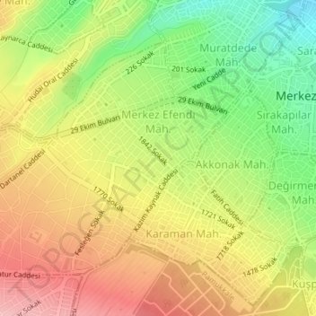
Merkezefendi Mahallesi topographic map
Interactive map
Click on the map to display elevation.
About this map
Name: Merkezefendi Mahallesi topographic map, elevation, terrain.
Average elevation: 1,457 ft
Minimum elevation: 1,204 ft
Maximum elevation: 1,683 ft
Other topographic maps
Click on a map to view its topography, its elevation and its terrain.
Denizli
Denizli, Merkezefendi, Denizli, Aegean Region, 20100, Turkey
Average elevation: 2,428 ft