
Terkos Mahallesi topographic map
Interactive map
Click on the map to display elevation.
About this map
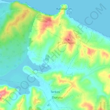
Name: Terkos Mahallesi topographic map, elevation, terrain.
Location: Terkos Mahallesi, Arnavutköy, Istanbul, Marmara Region, Turkey (41.29888 28.61745 41.34571 28.69174)
Average elevation: 92 ft
Minimum elevation: -7 ft
Maximum elevation: 348 ft