
Monte Plata topographic map
Interactive map
Click on the map to display elevation.
About this map
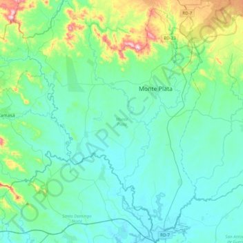
Name: Monte Plata topographic map, elevation, terrain.
Location: Monte Plata, 92000, Dominican Republic (18.57452 -69.99534 18.94475 -69.71131)
Average elevation: 282 ft
Minimum elevation: 7 ft
Maximum elevation: 1,634 ft