
South Abaco topographic map
Interactive map
Click on the map to display elevation.
About this map
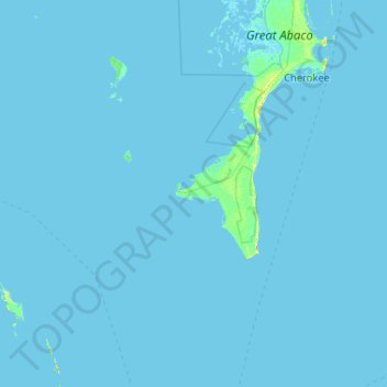
Name: South Abaco topographic map, elevation, terrain.
Location: South Abaco, The Bahamas (25.55904 -77.79110 26.44500 -76.75518)
Average elevation: 0 ft
Minimum elevation: -13 ft
Maximum elevation: 92 ft
Other topographic maps
Click on a map to view its topography, its elevation and its terrain.
Little Harbour
Little Harbour, South Abaco, The Bahamas
Average elevation: 3 ft
Boating Harbor
Boating Harbor, South Abaco, The Bahamas
Average elevation: 3 ft