
Borlänge topographic map
Interactive map
Click on the map to display elevation.
About this map
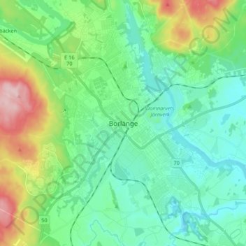
Name: Borlänge topographic map, elevation, terrain.
Location: Borlänge, Borlänge kommun, Dalecarlia, 784 31, Sweden (60.44564 15.38346 60.52564 15.46346)
Average elevation: 525 ft
Minimum elevation: 341 ft
Maximum elevation: 1,060 ft