
Cloppenburg topographic map
Interactive map
Click on the map to display elevation.
About this map
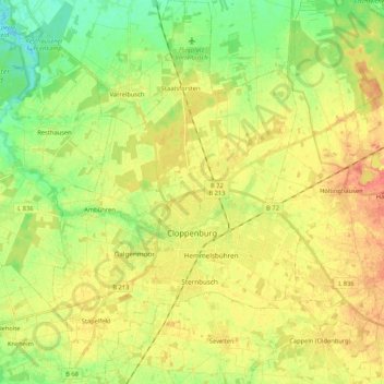
Name: Cloppenburg topographic map, elevation, terrain.
Location: Cloppenburg, Cloppenburg district, Lower Saxony, 49661, Germany (52.79589 7.96428 52.92323 8.10322)
Average elevation: 135 ft
Minimum elevation: 62 ft
Maximum elevation: 200 ft