
Lechtal Alps topographic map
Interactive map
Click on the map to display elevation.
About this map
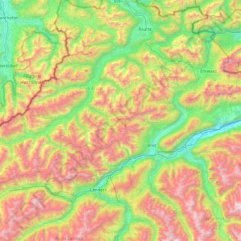
Name: Lechtal Alps topographic map, elevation, terrain.
Location: Lechtal Alps, Pfafflar, Reutte (Außerfern), Tyrol, Austria (47.10879 10.13964 47.47323 10.90695)
Average elevation: 5,302 ft
Minimum elevation: 2,070 ft
Maximum elevation: 10,673 ft