
Mount Samat topographic map
Interactive map
Click on the map to display elevation.
About this map
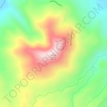
Name: Mount Samat topographic map, elevation, terrain.
Location: Mount Samat, Pilar, Bataan, Central Luzon, 2101, Philippines (14.60407 120.50747 14.60417 120.50757)
Average elevation: 955 ft
Minimum elevation: 226 ft
Maximum elevation: 1,749 ft