
Norwood Park topographic map
Interactive map
Click on the map to display elevation.
About this map
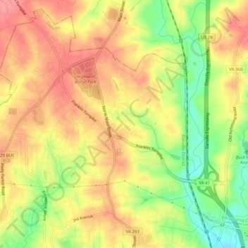
Name: Norwood Park topographic map, elevation, terrain.
Location: Norwood Park, Danville City, Virginia, 24540, USA (36.60542 -79.40141 36.64542 -79.36141)
Average elevation: 564 ft
Minimum elevation: 390 ft
Maximum elevation: 686 ft