
Mechuka topographic map
Interactive map
Click on the map to display elevation.
About this map
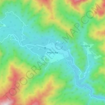
Name: Mechuka topographic map, elevation, terrain.
Location: Mechuka, Mechuka ADC, Shi Yomi, Arunachal Pradesh, India (28.55875 94.09358 28.63875 94.17358)
Average elevation: 7,103 ft
Minimum elevation: 6,188 ft
Maximum elevation: 9,390 ft